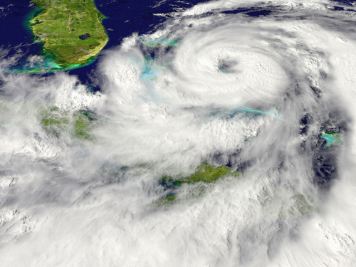
The Met Office Atlantic tropical storm forecast for 2014 is for 10 tropical storms between June and November, with a 70% chance that the number will be in the range 7 to 13. The long-term average over the period 1980–2010 is 12 tropical storms.
Specifically for hurricanes (storms with winds of at least 74 mph) the best estimate is 6, with a 70% chance that the number will be in the range 3 to 9; the 1980–2010 average is 6 hurricanes.
The most likely value for the Accumulated Cyclone Energy (ACE) index — a measure of the strength and duration of storms over the season — is 84, with a 70% chance that the index will be in the range 47 to 121; the 1980–2010 average ACE index is 104.
The evolution of the El Niño Southern Oscillation (ENSO) over the next few months will likely play a large part in the North Atlantic hurricane season.
Joanne Camp, climate scientist at the Met Office, said: “El Niño conditions in the Pacific can hinder the development of tropical storms in the Atlantic whereas La Niña conditions can enhance tropical storm activity, so how these conditions develop will be important for the storm season ahead.”
Current evidence from observations and forecast models indicates a 70% chance of an El Niño event developing this year, with thresholds likely to be reached by the peak of the hurricane season. This is no guarantee, however, that El Niño conditions will occur.
The tropical storm forecast is produced using the Met Office’s new seasonal prediction system GloSea5.
It has higher resolution than its predecessor, with better representation of the complex physical processes that cause tropical storm and hurricane development.
The forecast also uses information from the seasonal prediction system of theEuropean Centre for Medium-Range Weather Forecasts (ECMWF).
For regular updates on tropical cyclones worldwide follow @metofficestorms on Twitter.
© Met Office


