Arawa, Papua New Guinea Weather Averages

pg Flag

Arawa, Papua New Guinea Weather Averages

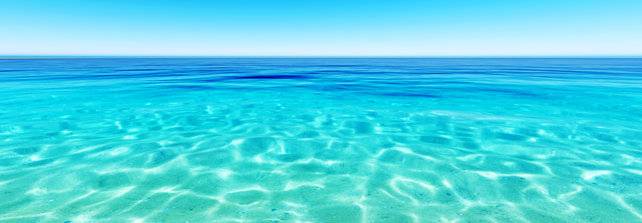
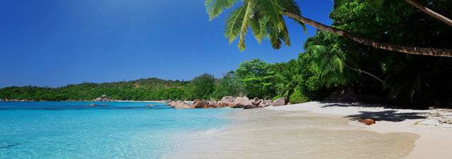
January is the hottest month in Arawa with an average temperature of 27°C (80°F) and the coldest is August at 23°C (73°F) with the most daily sunshine hours at 4 in December. The wettest month is January with an average of 269.9mm of rain. The best month to swim in the sea is in January when the average sea temperature is 30°C (86°F).

Average Temperature Arawa

What is Average Temperature?
The average high temperature and the average low temperature for that month, on a daily basis, divided by 2 equals the average temperature for that month
What is Average Temperature?
The average high temperature and the average low temperature for that month, on a daily basis, divided by 2 equals the average temperature for that month

Average High Low Temperature Arawa

What is Average High Low Temperature?
The sum of high temperatures/low temperatures divided by the number of days in that month, recorded daily
What is Average High Low Temperature?
The sum of high temperatures/low temperatures divided by the number of days in that month, recorded daily

Average Rainfall Arawa

What is Average Rainfall?
The amount of mm in rain for that month divided by the number of days, and the number of days that it rains during that month on average, over a given period of years
What is Average Rainfall?
The amount of mm in rain for that month divided by the number of days, and the number of days that it rains during that month on average, over a given period of years

Average Daily Sunshine Hours Arawa

What are Average Daily Sunshine Hours?
Total sunshine hours for the month, divided by the number of days in the month. Sunshine hours are taken with a sunshine recorder, either a Campbell-Stokes recorder or an Eppley Pyreheliometer
What are Average Daily Sunshine Hours?
Total sunshine hours for the month, divided by the number of days in the month. Sunshine hours are taken with a sunshine recorder, either a Campbell-Stokes recorder or an Eppley Pyreheliometer

Average Sea Temperature Arawa

What is Average Sea Temperature?
Average daily sea temperatures and divided by the number of days in the month. Sea Temperatures are taken from buoys, ships and even satellites can calculate sea temperature based on energy that is radiated from the sea's surface
What is Average Sea Temperature?
Average daily sea temperatures and divided by the number of days in the month. Sea Temperatures are taken from buoys, ships and even satellites can calculate sea temperature based on energy that is radiated from the sea's surface

Arawa : Next 24-Hour Weather

Tomorrow - 3rd June 2024

Sunrise 05:43

Sunrise

Sunset 17:29

Sunset
3:00
Mist
26°C (78°F)
4:00
Cloudy
26°C (78°F)
5:00
Patchy rain possible
26°C (78°F)
6:00
Patchy rain possible
26°C (78°F)
7:00
Patchy rain possible
27°C (79°F)
8:00
Patchy rain possible
28°C (81°F)
9:00
Patchy rain possible
29°C (83°F)
10:00
Patchy rain possible
31°C (86°F)
11:00
Patchy rain possible
31°C (88°F)
12:00
Patchy rain possible
32°C (88°F)
13:00
Patchy rain possible
32°C (88°F)
14:00
Patchy rain possible
31°C (86°F)
15:00
Patchy rain possible
30°C (84°F)
16:00
Patchy rain possible
26°C (78°F)
17:00
Patchy rain possible
23°C (73°F)
18:00
Patchy rain possible
22°C (71°F)
19:00
Patchy rain possible
22°C (70°F)
20:00
Patchy rain possible
21°C (69°F)
21:00
Patchy rain possible
21°C (69°F)
22:00
Patchy rain possible
21°C (69°F)
23:00
Patchy rain possible
21°C (69°F)

Tomorrow - 4th June 2024

Sunrise 05:43

Sunrise

Sunset 17:29

Sunset
0:00
Partly cloudy
21°C (69°F)
1:00
Patchy rain possible
21°C (69°F)
2:00
Patchy rain possible
26°C (78°F)